By David Cole
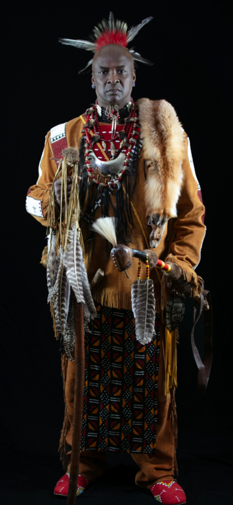
Robert Cox, Chief Two Running Elk
A History of the Wainer Farm Property in Westport, Massachusetts
The Wainer Farm on Drift Road in Westport is included on the
Paul Cuffe Heritage Trail because it played an important role
in Paul Cuffe’s story. As described in this note, Paul Cuffe
purchased this property for his business partner and brother-
in-law Michael Wainer and sister, Mary Wainer in 1799. This
was an operating farm throughout the 19th and most of the 20th
century and owned by descendants of Michael and Mary Wainer.
Currently a new group of descendants is in the process of restoring
the 46 remaining acres of the property and transforming it into a
historical and educational site emphasizing its Native American
Heritage as personified by Michael Wainer, a Wampanoag, and
Mary Cuffe Wainer, who’s Mother was a Wampanoag. This brief
history of the property will be included in the proposal to re-
store this historic site.
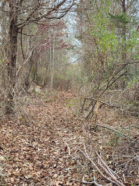
The Wainer farm on Drift Road
All the lands in Southern New England were inhabited by Native Peoples for thousands of years before the arrival of the English settlers on the Mayflower in 1620. Different tribes controlled different areas, and often contested with neighboring tribes over territorial control and hunting grounds, but there were no defined boundaries or delineated properties.[1]
Arrival of the English settlers, with their tradition of property demarcation and proprietary rights, changed all that. In 1652, five leaders from the Plymouth Colony entered into a deed agreement with the Wampanoag Sachem, Massasoit, and his son, Wamsutta, by which they laid claim to a tract of land along what is now the South Coast of Massachusetts running from three miles eastward of the Cushenagg River to a certain harbor called Acoaksett and extending inland “so far that the English may not be annoyed by the hunting of the Indians in any sort of their cattle.”[2] This tract was later determined to contain some 70,000 acres and extend inland from the shore for something like 7 miles. It extended from 3 miles east of the Acushnet River to the western shore of the Acoaxet River, now known as the West Branch of the Westport River.
The Indian leaders could not read or write English and undoubtedly had little to no understanding of what they were agreeing to. Wamsutta signed the deed with his mark. But the Plymouth Colony leaders knew what they intended to do with this tract and they proceeded to carry out their plans. Thirty-five of the Mayflower settlers were designated as shareholders of this 70,000-acre tract and the plan was to organize them as the Proprietors of what became known as The Dartmouth Propriety.[3]
George Soule (1594-1680), a Mayflower passenger and original settler of the Plymouth Colony, received one thirty-fifth of the total property, perhaps on the order of 2,000 acres. One part of his share was on the west bank of the Paskamansett River and the other on the west bank of the Acoaxet River. He then divided these properties between his two sons, Nathaniel (1637-1702) and George Jr. (1639-1704). In 1708, after both of them had died, their six sons and one daughter agreed on a property division of all their properties.[4]
The property that was eventually owned by Michael Wainer was first granted to George Jr.’s son, Nathan, who then divided it between his two sons, John and Timothy. In 1747, Timothy Soule sold a property of 114 3/4-acres that was bounded on the east by the river to Ichabod Eddy of Swansea for £1,500.[5] After Ichabod Eddy died in 1795, his widow and other children passed along all their inherited properties from his estate to his son, Ebenezer Eddy.
Ebenezer Eddy, on February 6, 1799, sold the Eddy homestead farm of 100-acres to Paul Cuffe for $2,500. The following year, on March 17, 1800, Paul Cuffe sold to his brother-in-law, Michael Wainer, for $2,500, “the farm where the said Michael Wainer now lives, that I bought of Ebenezer Eddy.” This deed shows clearly that Paul Cuffe purchased this property not for his own use, but for his sister, Mary Wainer, and brother-in-law and business partner, Michael Wainer.[6]
This property that was originally part of the 70,000-acre tract “acquired” from the Wampanoags in 1652, owned by a succession of Mayflower-descended Soules for nearly 100 years and then by two generations of Eddys for another 50 years, was finally brought back into the possession of a full-blooded Wampanoag and his half-Wampanoag wife, Michael Wainer and Mary Cuffe Wainer. The core of this property has remained in the possession of the Wainer Family and their descendants since 1800 – a span of nearly 225 years.
The Country, Memories of the Wainer Farm on Drift Road by George H. Wortham
[1] Braun, Esther K. and David P. Braun, The First Peoples of the Northeast. Bedford, MA, Moccasin Hill Press. 1994.
[2] Ricketson, Daniel, The History of New Bedford, Bristol County, Massachusetts. 1858. Reprinted by Higginson Book Co. Salem, MA. According to Ricketson, p. 16-17, payment for this tract consisted of “thirty yards of cloth, eight moose-skins, fifteen axes, fifteen hoes, fifteen pair of breeches, eight blankets, two kettles, one cloak, 2 £ in wampam, eight pair stockings, eight pair shoes, one iron pot, and ten shillings in another commoditie.”
[3] Aldrich, Sally M. The Dartmouth Propriety: Land Ownership in the Township before 1800. Self-published, 2021.
[4] Bristol County Land Records, Bk. 7, pp. 22-24; 14 May, 1708.
[5] New Bedford Registry of Deeds (NBRD), Bk. 5, pp. 274-5, May 1, 1747.
[6] Paul Cuffe had built a substantial house several years previously at his wharf and boatyard a short distance to the north of the Eddy homestead. See Cole, David, Richard Gifford, Betty Slade and Raymond Shaw, Paul Cuffe: His Purpose, Partners and Properties. New Bedford, Spinner Publications, 2020, pp. 74-5.